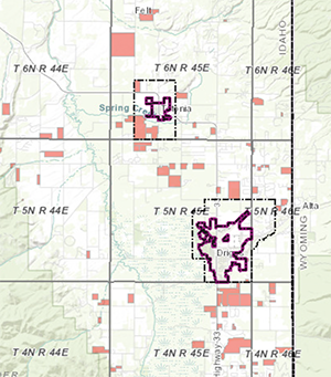
Teton Valley Development Map
VARD actively tracks development in the 5 jurisdictions of Teton Valley - Driggs, Victor, Tetonia, Teton County, Idaho and Alta in Teton County, Wyoming.
Access the "Pending Subdivision" Layer on TCID GIS
Enter your address into the County GIS Address & Parcel Map to see what is being planned next door. The layer (located in the layers palette) shows the property location, the name of a proposed subdivision, total acres, total lots, and where the development is in the application process. Once you have the name, you can also cross-reference the subdivision on VARD's Development Map to view available application material.
Need help? Shoot us an email or give us a ring, we can help!